This is a resource page for maps.
Two .png versions are available. The second has been converted from a .bmp. This had been done because it was thought there was undesirable aliasing in the .png version. However, since the resolution is already so high, that didn't happen. Still, both versions are provided in case the user has a preference.

If you're interested in the code used to convert .bmp to transparent .png, check here: bmp_to_trans_png.ipynb
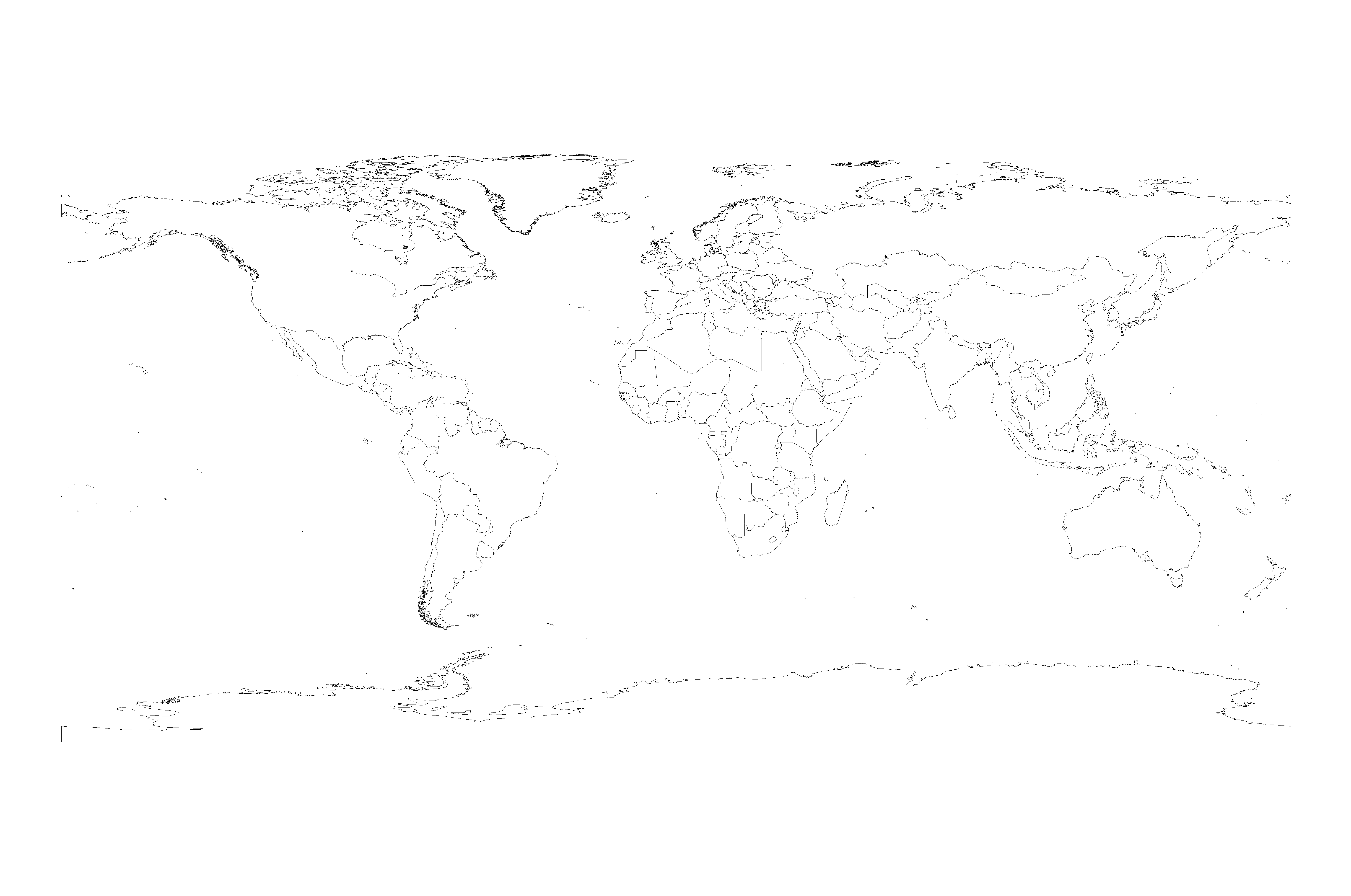
ArcGIS Hub: World Countries (Generalized)
Accessed: May 31, 2022

ArcGIS Hub: World Continents
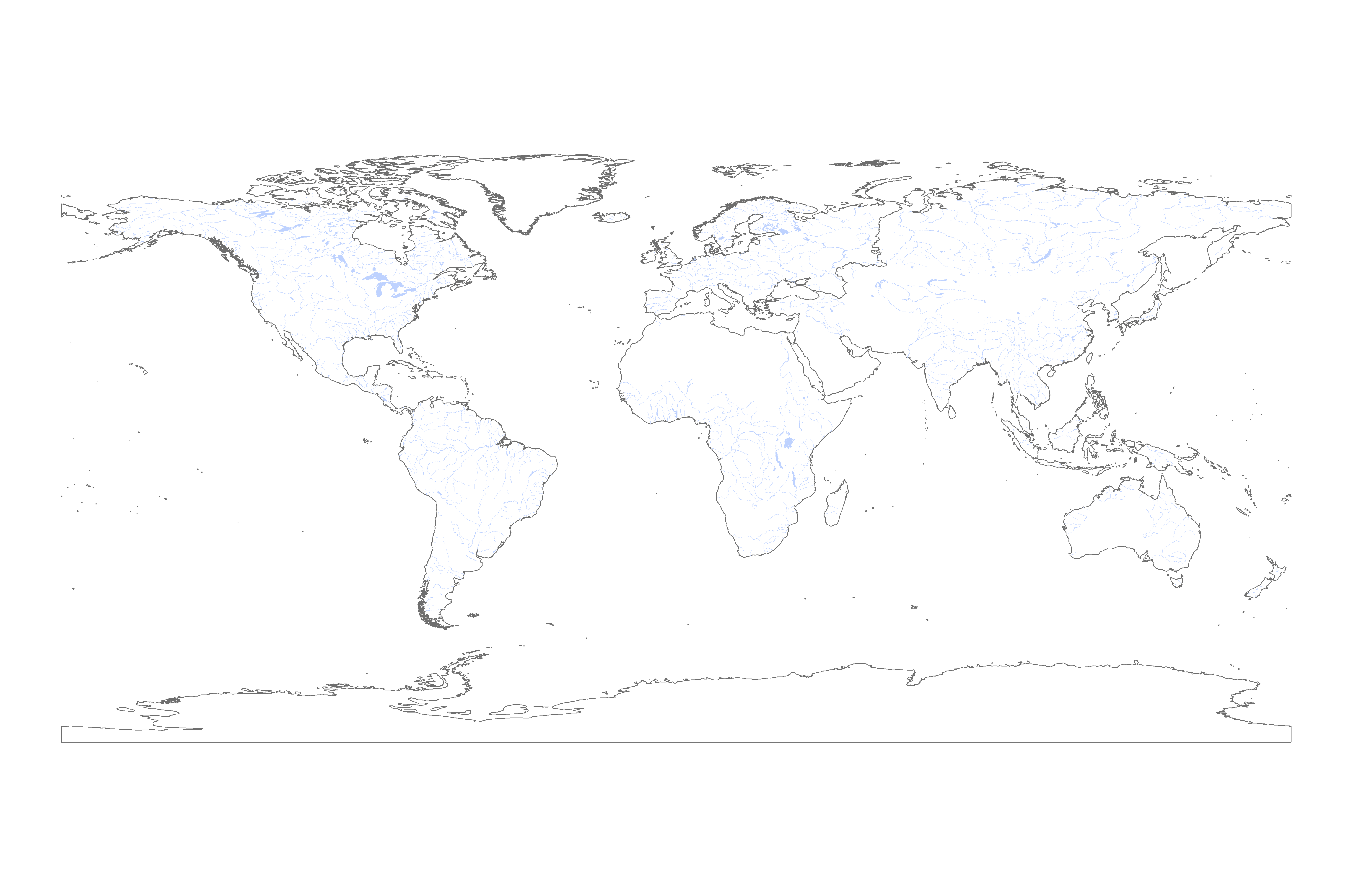
koordinates: World Lakes
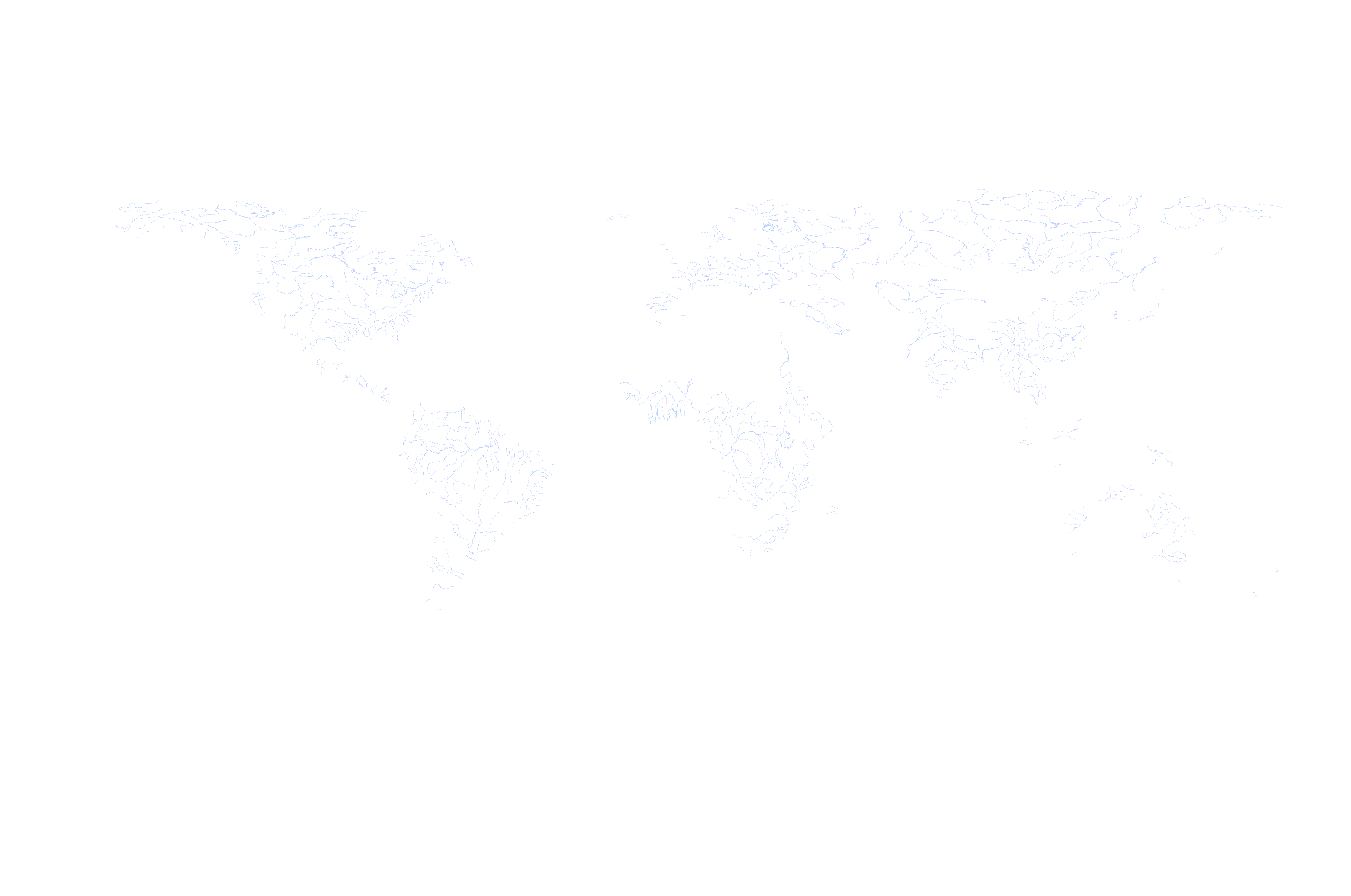
UNESCO: World Rivers (see "Zipped Shapefile")
Accessed: May 31, 2022